Drone Services in North dakota, Montana, Wyoming and idaho

Aerial Excellence

Advanced drone technology delivering unprecedented site understanding and documentation.

Person holding a yellow device in front of a drone on an orange landing pad.
Aerial view: large drone on dirt ground with person and vehicle nearby.

Service Philosophy

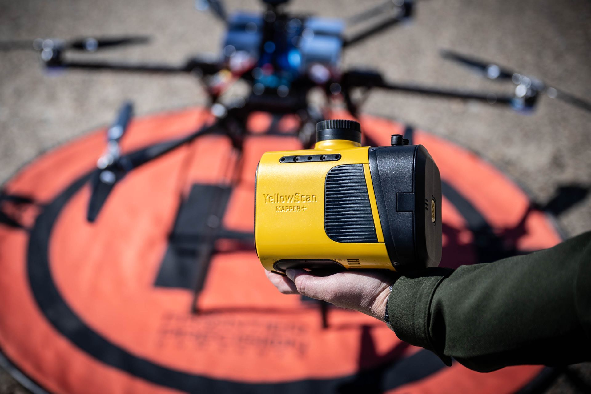
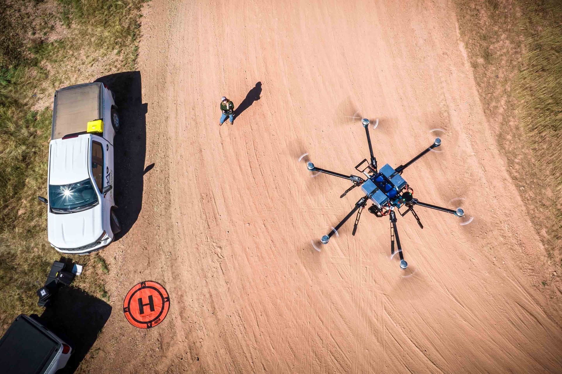
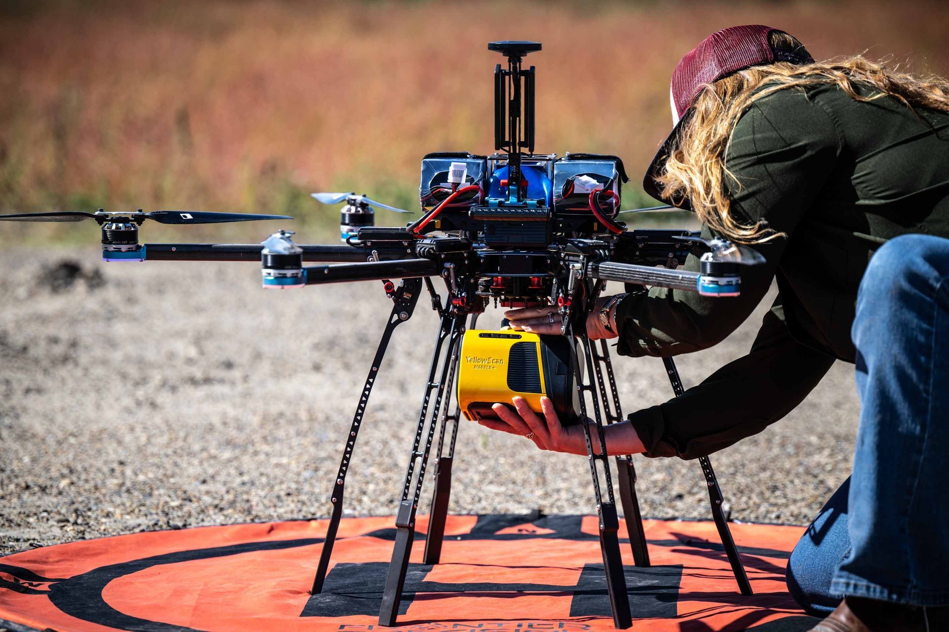
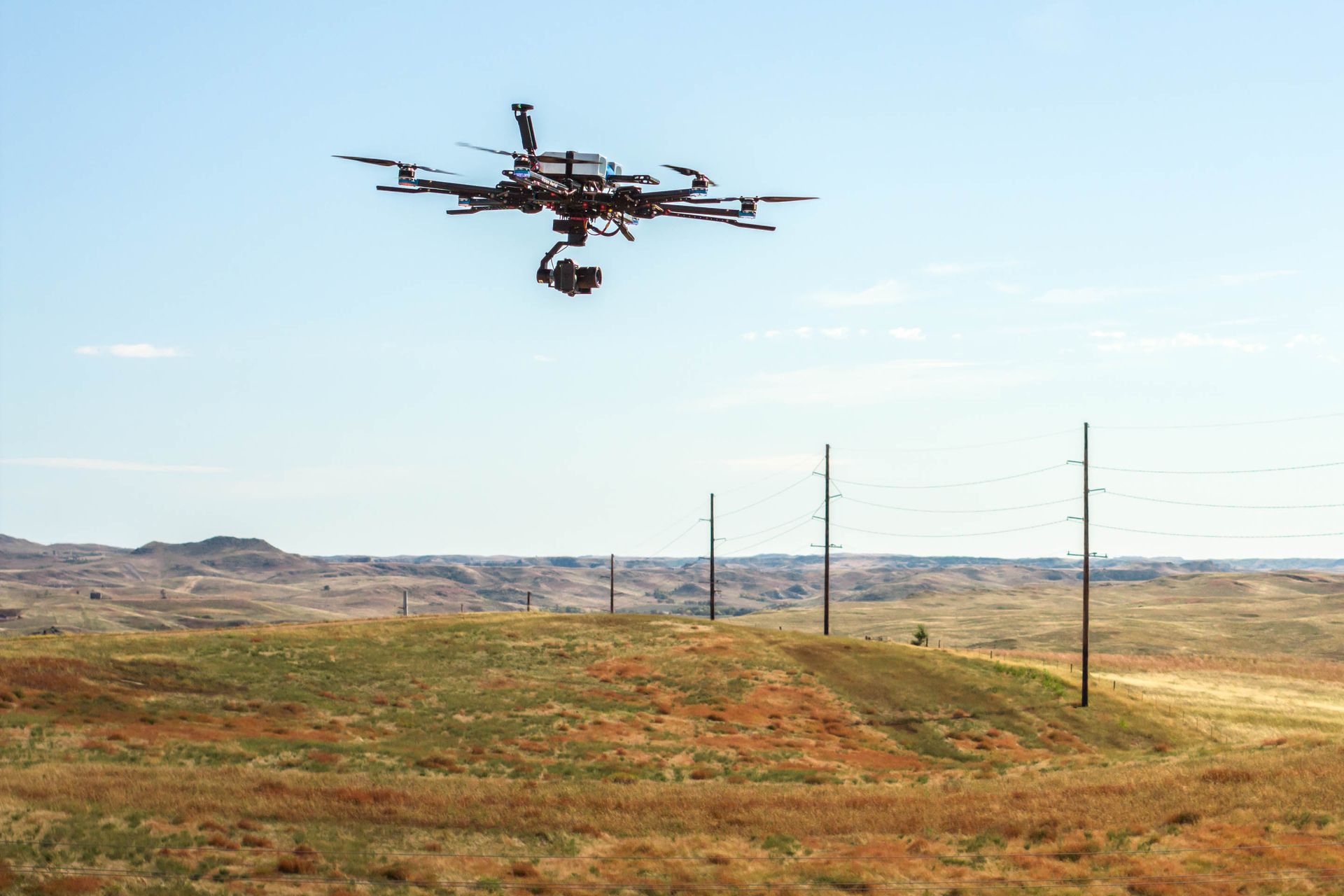
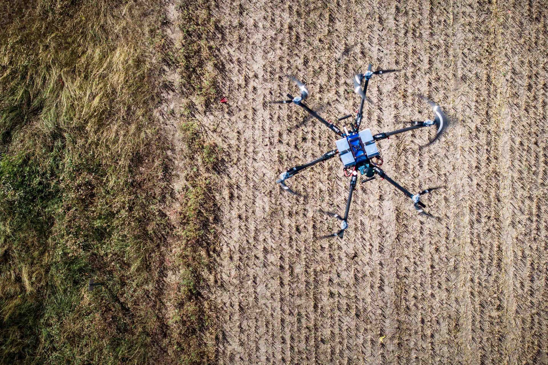
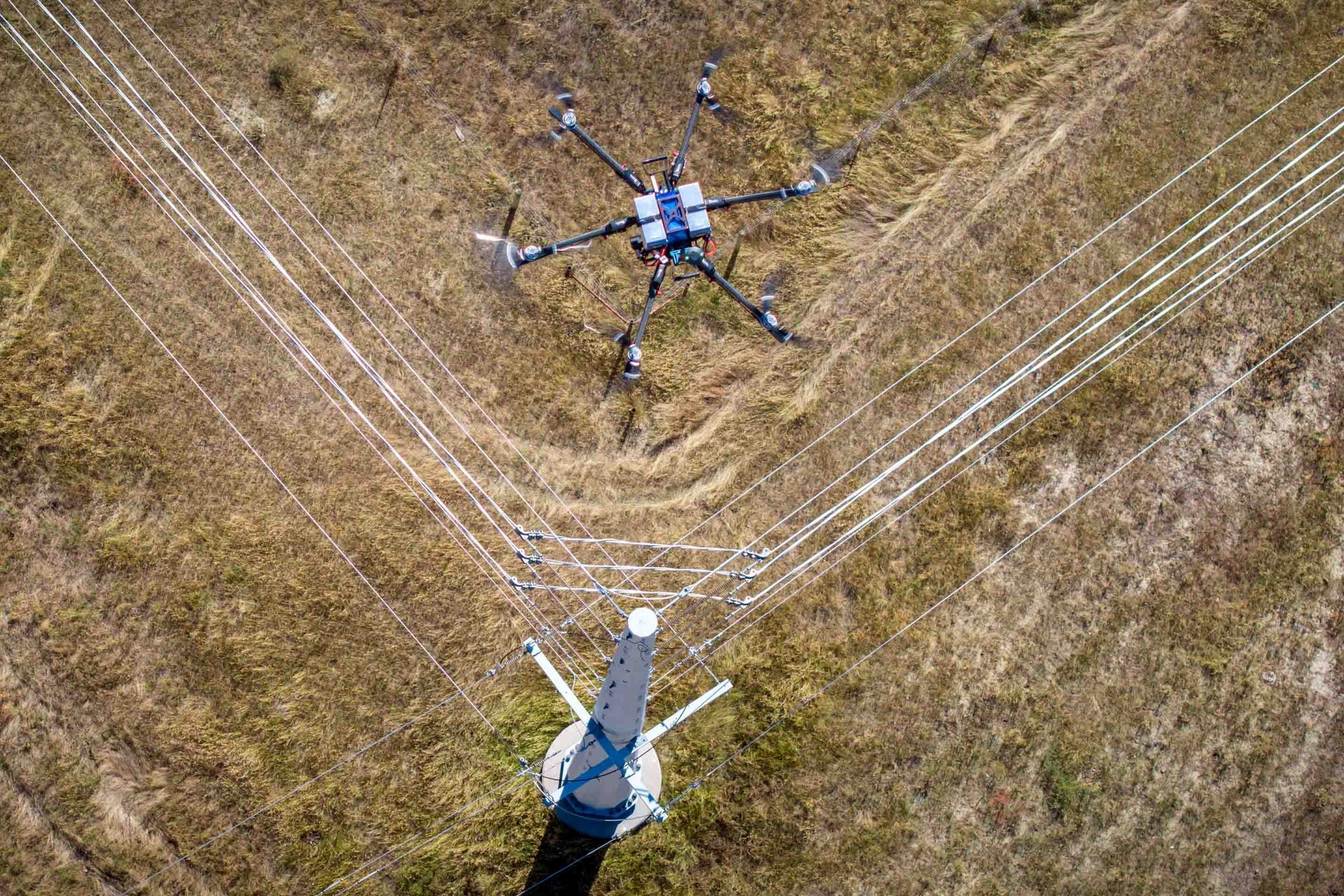
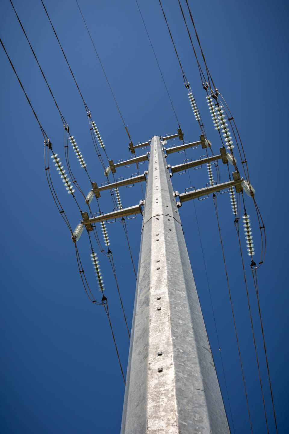
Our drone services transform aerial perspectives into actionable data, providing comprehensive site understanding that enhances decision-making across all project phases.

Our drone team is fully certified and ready to help you with LiDAR scanning, Photogrammetry, aerial documentation and complete data analysis.


Expertise in the sky

Core Aerial Services

Abstract image with colorful granular gradients, shifting from purple to blue-green to yellow-orange.
High-precision 3d Mapping

LiDAR Scanning

Our LiDAR capabilities deliver detailed terrain and infrastructure mapping with unprecedented accuracy.

Scanning Capabilities

  • High-density point clouds
  • Vegetation penetration
  • Infrastructure modeling
  • Volume calculations


Person attaching a yellow box to a large drone on a red landing pad outdoors.
Drone flying over a grassy landscape with power lines under a blue sky.
Visual Documentation

Photogrammetry

High-resolution aerial imaging that transforms into precise 3D models and orthomosaic maps.

Deliverable Options

  • Orthomosaic maps
  • Interactive 3D models
  • Digital surface models
  • Site documentation
Drone hovering over a harvested agricultural field, seen from above.
Drone inspecting power lines in a field; white cables connected to the drone and power lines are visible.
Detailed Asset Analysis

Inspections

Comprehensive aerial inspections that enhance safety and efficiency.


Inspection Types

  • Infrastructure assessment
  • Construction monitoring
  • Environmental analysis
  • Emergency response


Steel power pylon with high-voltage lines against a clear blue sky.

Data Processing

From Capture to Insight

Our systematic processing workflow ensures maximum value from every flight.

Regulatory Compliance

Licensed Operations

Full FAA compliance and comprehensive flight safety protocols.

Blue List Approved

Security for Sensitive Projects

FAA-approved for restricted airspace operations, ensuring access to secure and sensitive locations.


Ready to Energize Your Next Aerial Project?

No matter if the project is big or small, Mountain Plains, LLC, is your partner for engineering tomorrow's infrastructure.