Blue and beige pipes, valves, and fittings in a utility room.
Man using yellow surveyor's level on a tripod outdoors, wearing safety vest and cap.
Person in a vehicle points at notes in a red notebook on the steering wheel.

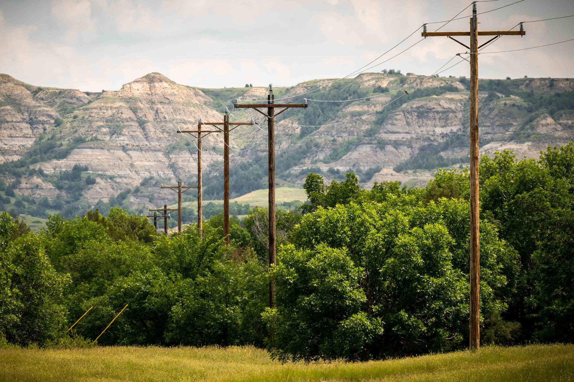
Land surveying in North dakota, Montana and Wyoming

Precision that Powers Progress

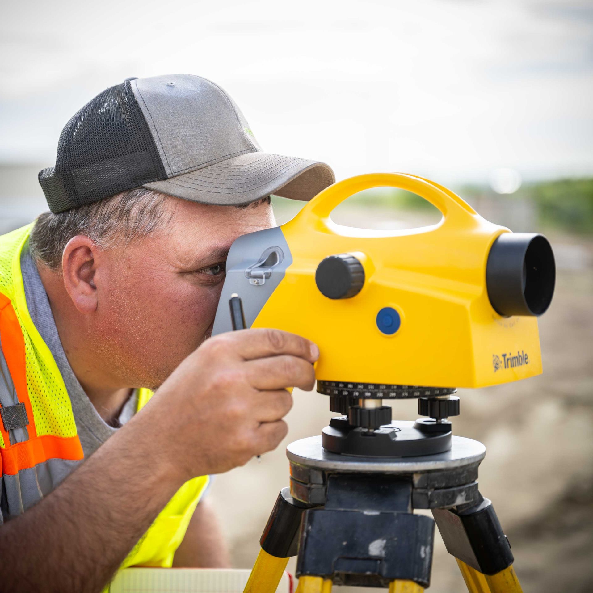
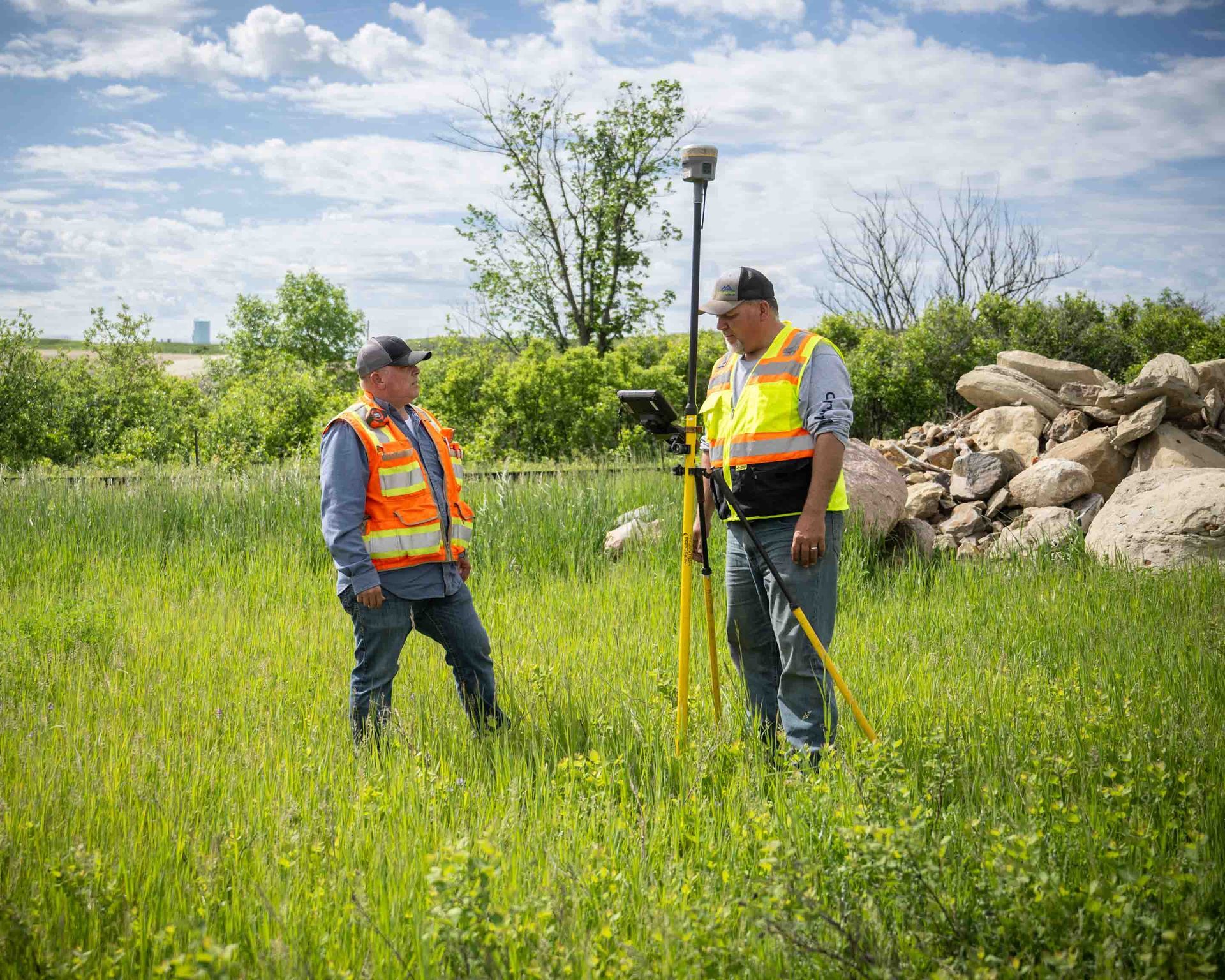
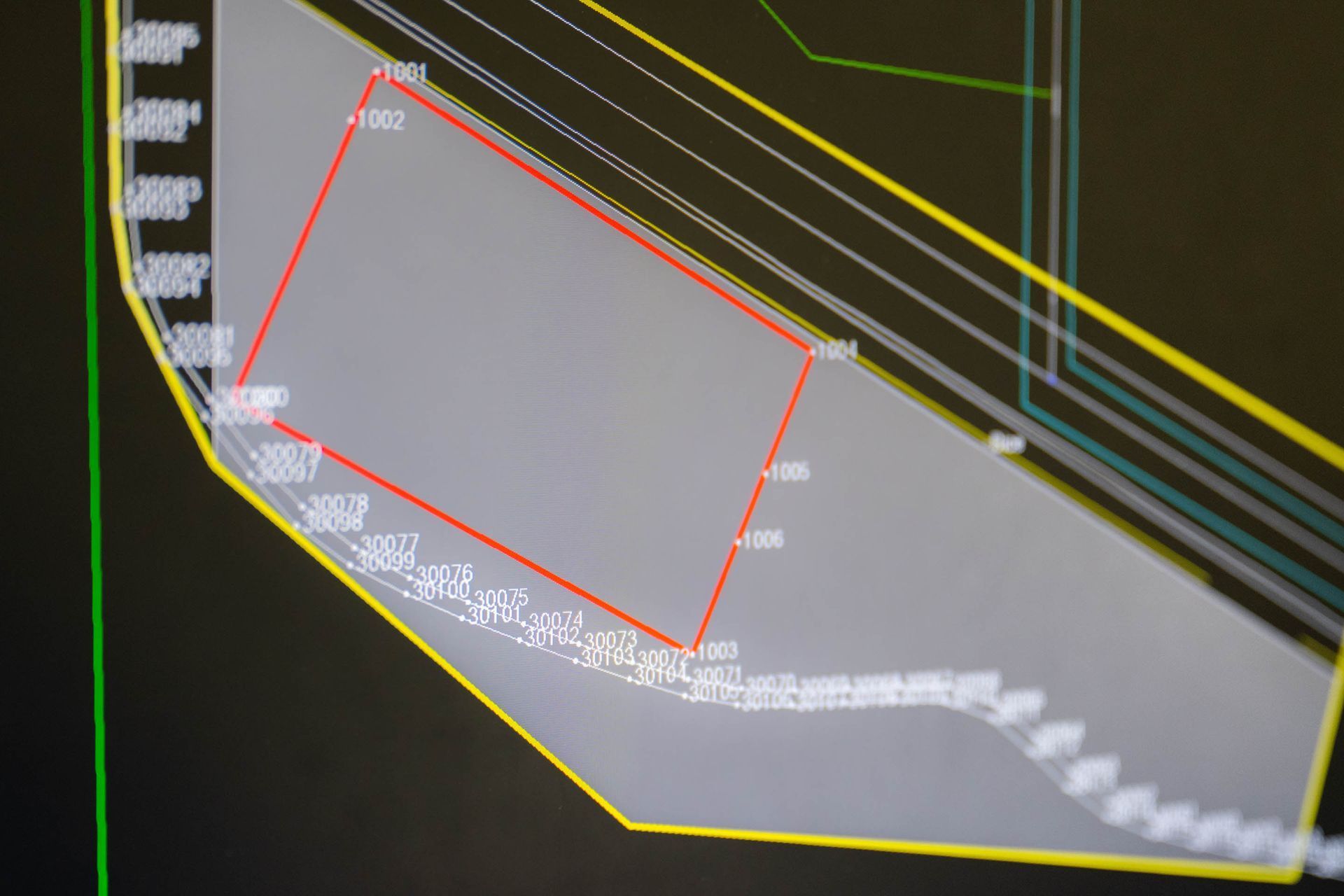
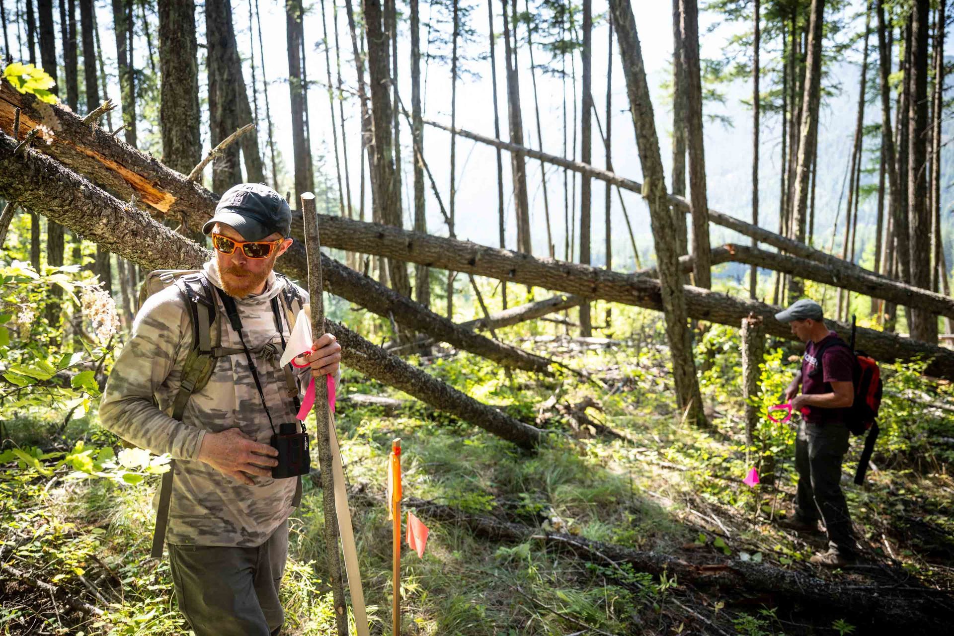
Our land surveying team combines advanced technology with deep regional knowledge to deliver accuracy that exceeds industry standards. Every survey is backed by rigorous quality control and comprehensive documentation.


Land surveying services and specialties

World-class Skills, World-class Results


Cadastral Surveys

Certificate icon with checkmark.

Defining Property With Precision

Our cadastral surveys provide legally defensible documentation of property boundaries, ensuring clarity and preventing future disputes.

Our Approach

  • Comprehensive deed research
  • Historical document analysis
  • Advanced boundary determination
  • Legal description preparation
  • Monument preservation

Construction Staking

A flag symbol.

Bringing Plans to Life

Our construction staking services ensure precise implementation of design plans, reducing errors and preventing costly corrections.

Technology Advantage

  • Machine control integration
  • Real-time design updates
  • Digital layout verification
  • As-built documentation

Plat Generation

A location pin icon on a road.

Detail-Driven Documentation

Our plats combine technical precision with clear presentation, ensuring both accuracy and usability.

Deliverable Excellence

  • Clean, professional formatting
  • Digital and physical copies
  • Multiple file formats
  • Comprehensive metadata

As-Built Surveys

Black and white illustration of a factory with chimneys and tanks.

Capturing Reality with Precision

Detailed documentation of completed construction, ensuring compliance and supporting future planning.

Advanced Documentation

  • 3D laser scanning
  • Photogrammetric mapping
  • Detailed measurements
  • Digital deliverables

Topographic Surveys

Concentric white lines on a black background, forming a heart shape.

Comprehensive Terrain Analysis

High-resolution surface mapping that supports informed design decisions and efficient planning.

Data Collection

  • Ground-based surveys
  • Aerial mapping integration
  • Contour generation
  • Feature identification

Boundary Surveys

Icon of a pen writing on a document.

Property Clarity and Confidence

Detailed boundary determination that stands up to legal scrutiny and prevents future disputes.

Process Excellence

  • Thorough research
  • Field investigation
  • Monument location
  • Boundary resolution

Service Excellence

Setting the foundation for success through state-of-the-art land surveying technology and regional expertise.

Two people in safety vests surveying a field with GPS equipment on a sunny day.

Land surveying Equipment advantage

Technology That Delivers

Digital Levels

Target symbol within a square frame.
  • Trimble DiNi Levels
  • Precise Elevations
  • Digital Recording
  • Much More
Black and white target icon with a square and crosshairs.

GPS Systems

  • Trimble R12i with ProPoint Technology
  • Base Station Networks
  • RTK Capability
  • Much More

Total Stations

Target icon, centered with a small circle inside a square.
  • Trimble SX12 Scanning
  • Robotic Capability
  • Imaging Integration
  • Much More

Quality Assurance

Excellence Verified

Our systematic quality control process ensures consistent accuracy across all land surveying deliverables.

Computer screen displaying a gray shape, outlined in yellow, with a red rectangular overlay. White text labels features.

Regional Expertise

Local Knowledge, Global Standards

Our land surveying experience across North Dakota, Montana, and Wyoming provides unique insight into regional challenges and requirements.

Two people marking trees in a forest. Man with sunglasses and backpack holds a stake. The other marks a tree with a pink flag.

Ready to Energize Your Next Land Surveying Project?

Get the precision, technology and accountability you need with Mountain Plains LLC's land surveying team.