G.I.S. Services in North dakota, Montana, Wyoming and idaho

Spatial Intelligence

Converting complex geographic data into actionable insights for informed decision-making.

Person holding a yellow device in front of a drone on an orange landing pad.
Heat map of a beach, with colors ranging from blue (cool) to red (hot) along a winding path.

Service Philosophy

Our GIS services transform raw spatial data into powerful decision-making tools, integrating multiple data sources to provide comprehensive understanding and support strategic planning.


G.I.S. Data Expertise

Core G.I.S. Services

Database Creation

Custom G.I.S. Solutions

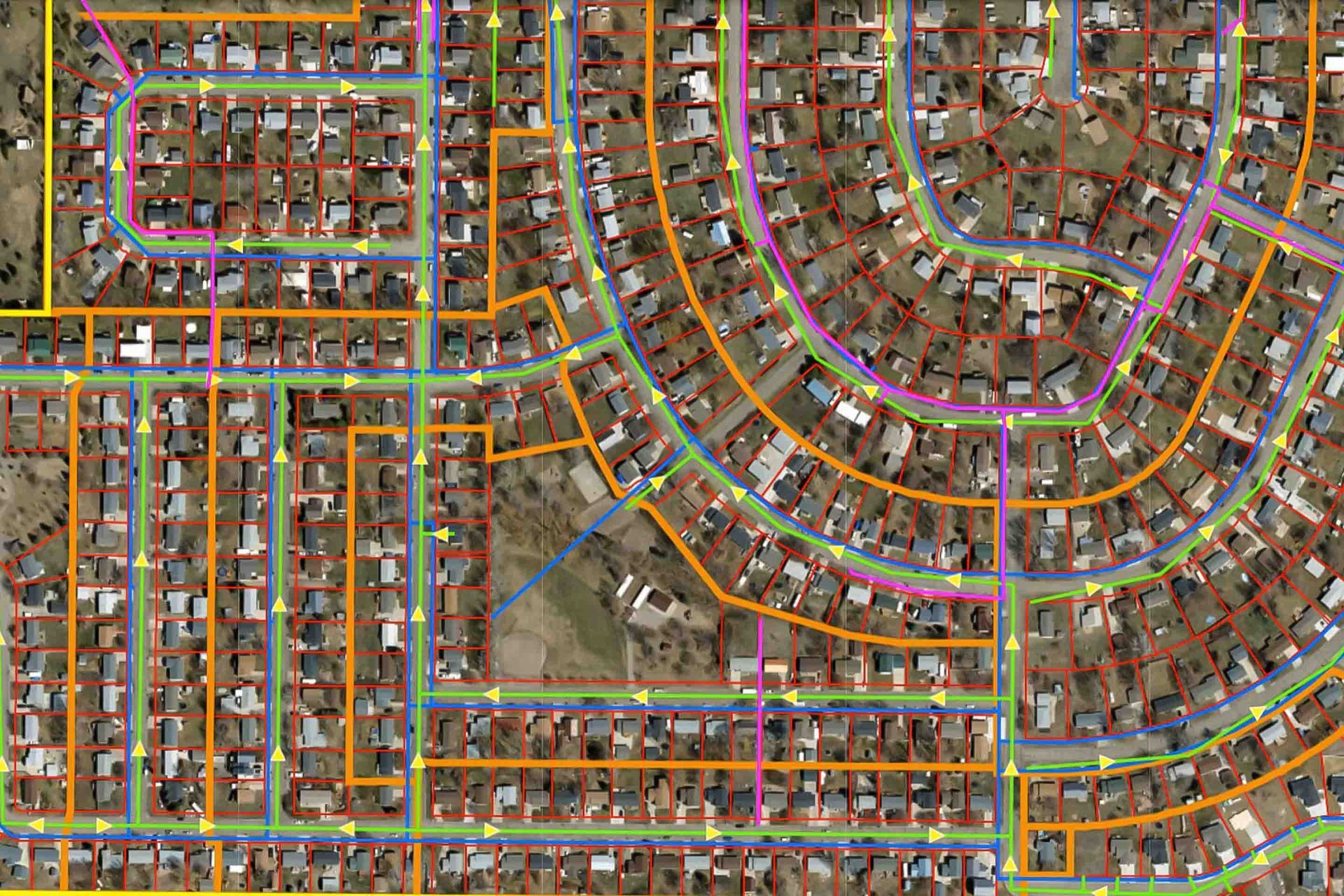
Tailored database development that meets your specific operational needs.


Database Features:

  • Custom schema design
  • Data integration
  • Quality control
  • User interface development {{Database structure visualization}}


Data Types:

  • Infrastructure networks
  • Property information
  • Environmental data
  • Operational assets
Overhead view of a suburban neighborhood with colorful lines overlaid on roads, likely representing utilities or services.
Overhead view map with yellow lines indicating infrastructure against a grid backdrop.
Database Maintenance

Ensuring Data Excellence

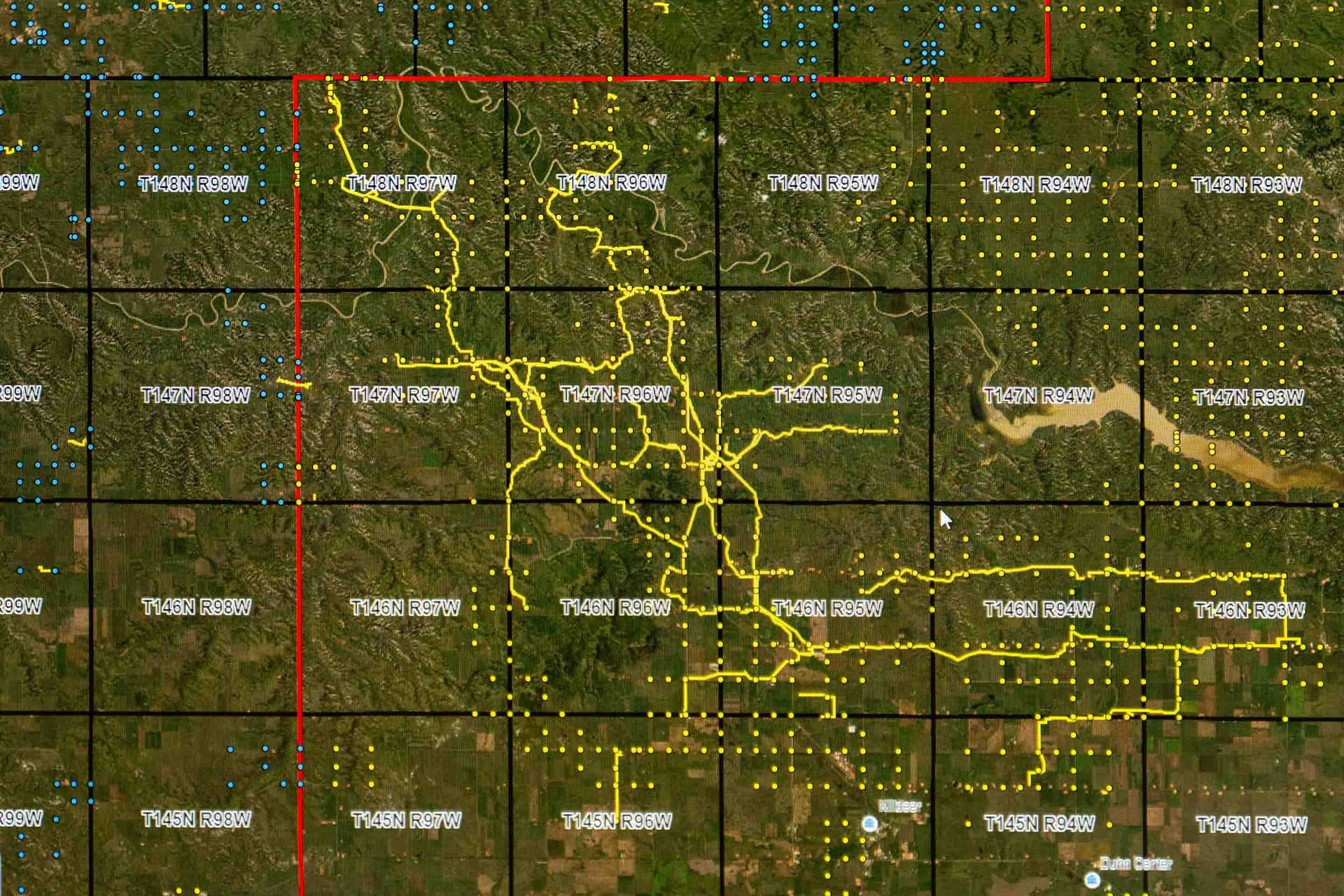
Ongoing support ensuring your GIS data remains accurate and valuable.


Maintenance Services:

  • Regular updates
  • Quality verification
  • System optimization
  • User training
Data analysis

Insight Generation

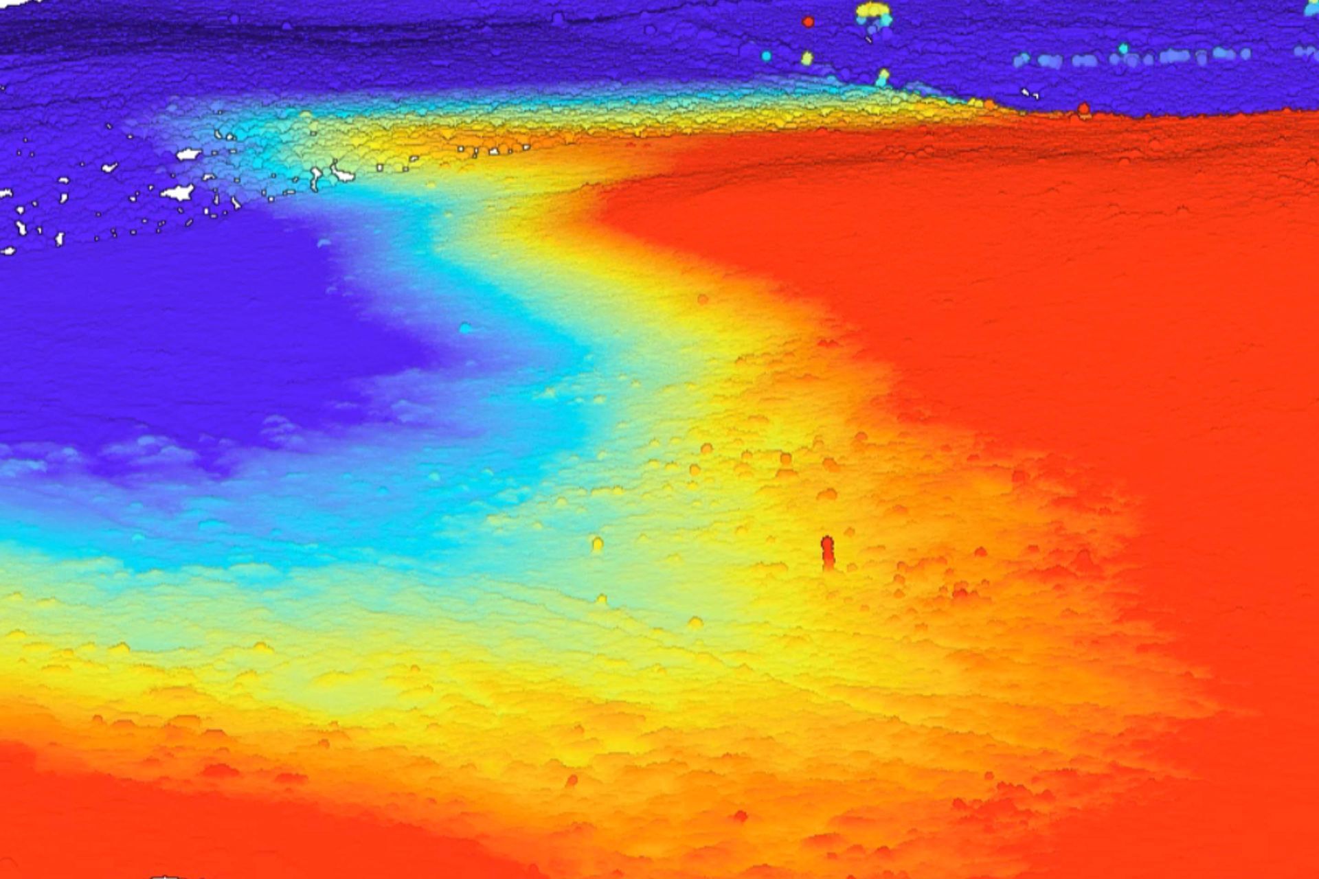
Transform complex data into clear, actionable intelligence.


Analysis Capabilities:

  • Spatial analysis
  • Network modeling
  • Topographic and 3D data
  • Demographic studies
  • Asset management
Badlands National Park in South Dakota, scenic view of eroded rock formations and grassy canyons under a blue sky.

Ready to Energize Your Next G.I.S. Project?

No matter if the project is big or small, Mountain Plains, LLC, is your partner for data analysis and precision insights.